
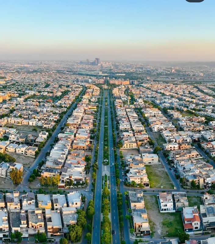
 Plot For Sale
Rs 45 Lacs
''Best Location'' *5 Marla* Prime Location Residential Plot For Sale In Bahria Orchard.
- 5 Marla
- Bahria Orchard
- Residential Plots
Main Raiwind Road · Lahore
An interactive satellite map of Bahria Orchard Lahore, plus a plain-language guide to phases and blocks, location, accessibility and nearby societies on Main Raiwind Road.
Live map
Zoom from the full four-phase layout down to single streets.
Text alternative: Bahria Orchard Lahore sits on Main Raiwind Road, Lahore, Pakistan, at roughly 31.30° N, 74.23° E. The satellite view carries an overlay of the society layout: Phase 1 (Eastern, Central, Northern and Southern districts) and Phase 2 (lettered blocks C to N) on one side of the corridor, Phase 3 facing Al-Kabir Town on the Lake City side, and Phase 4 stretching west with blocks G1 to G7, the Overseas Enclave and Safari Villas. Street and place labels come from the base map.
Listings
A sample from each board. Open a card for the full listing, or view more in that category.
Plot For SaleRs 45 Lacs
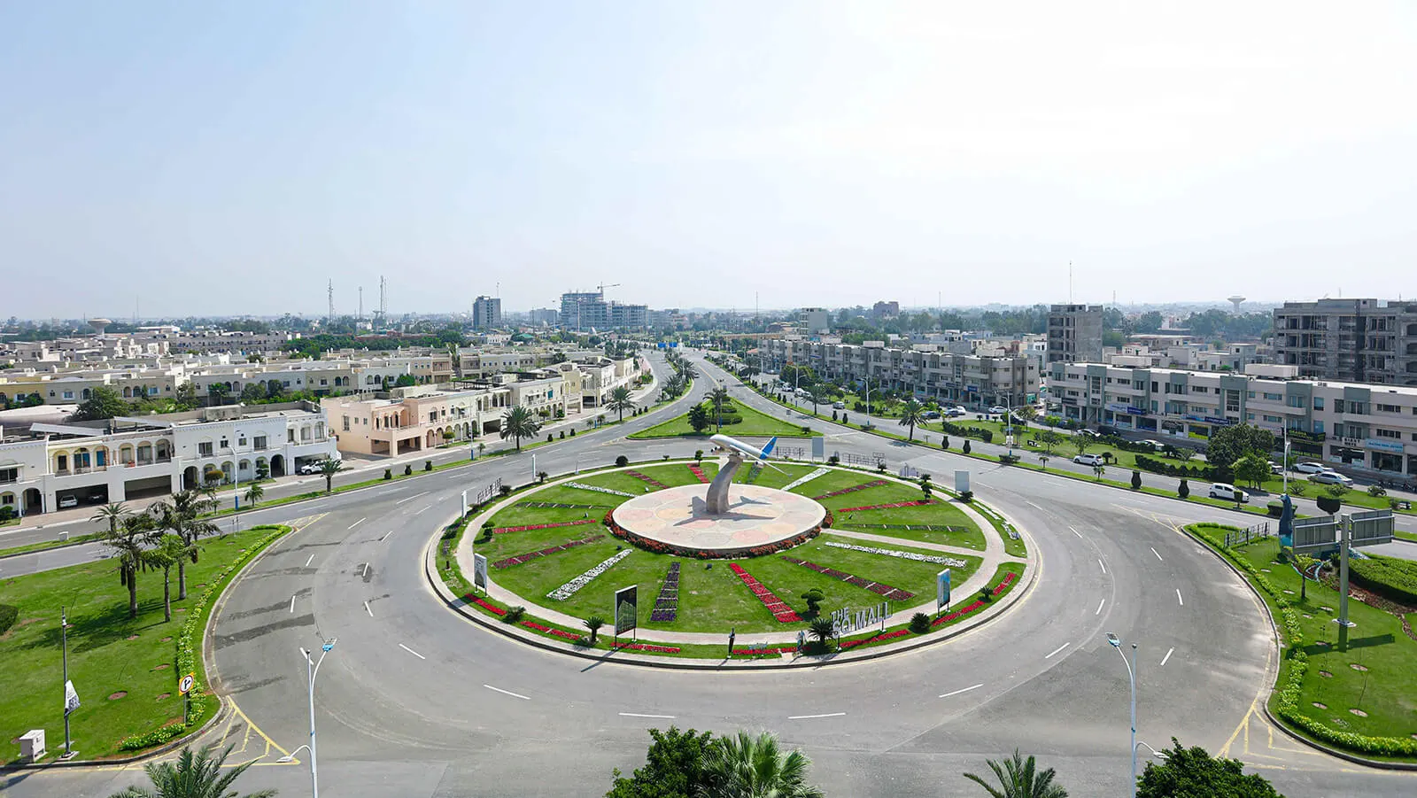
 Plot For Sale
Rs 1.75 Crore
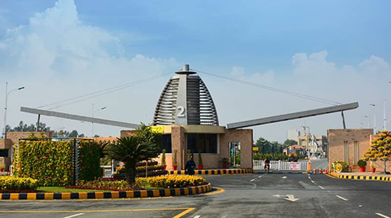
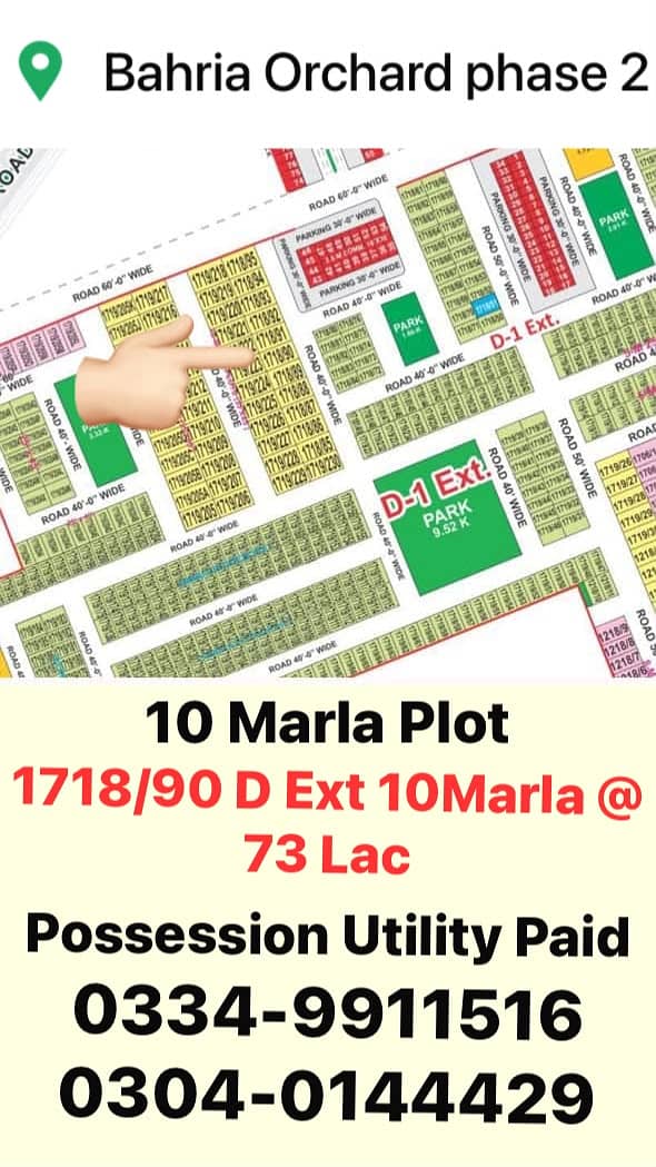 Plot For Sale
Rs 73 Lacs
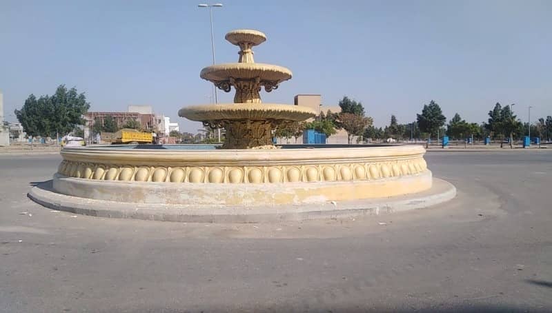 Plot For Sale
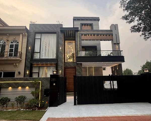 House For Sale
Rs 4.90 Crore
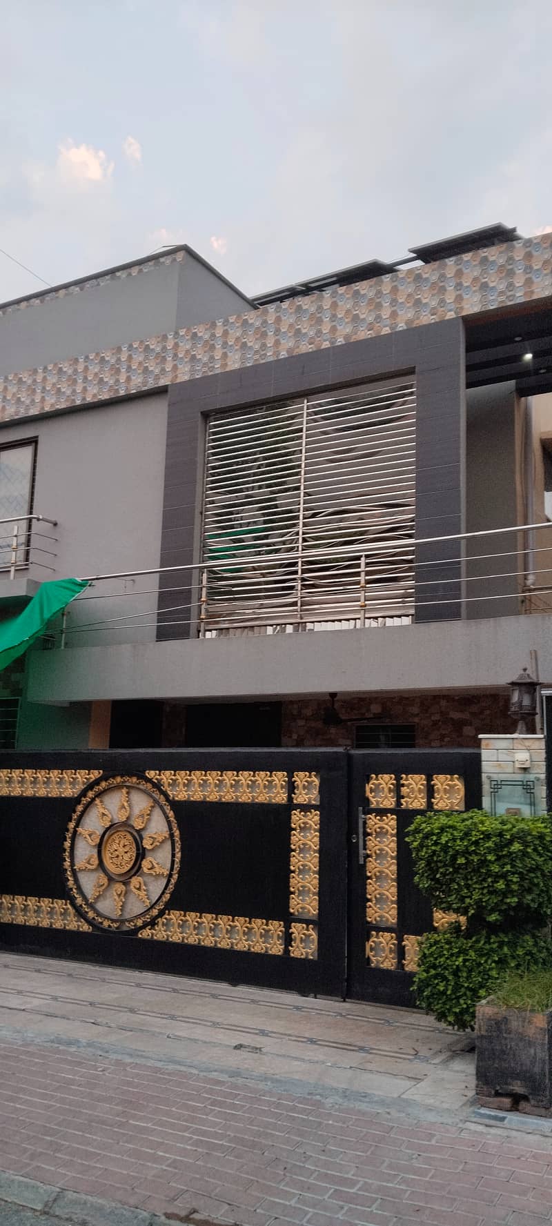 House For Sale
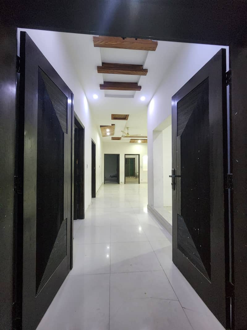 House For Sale
Rs 3.25 Crore
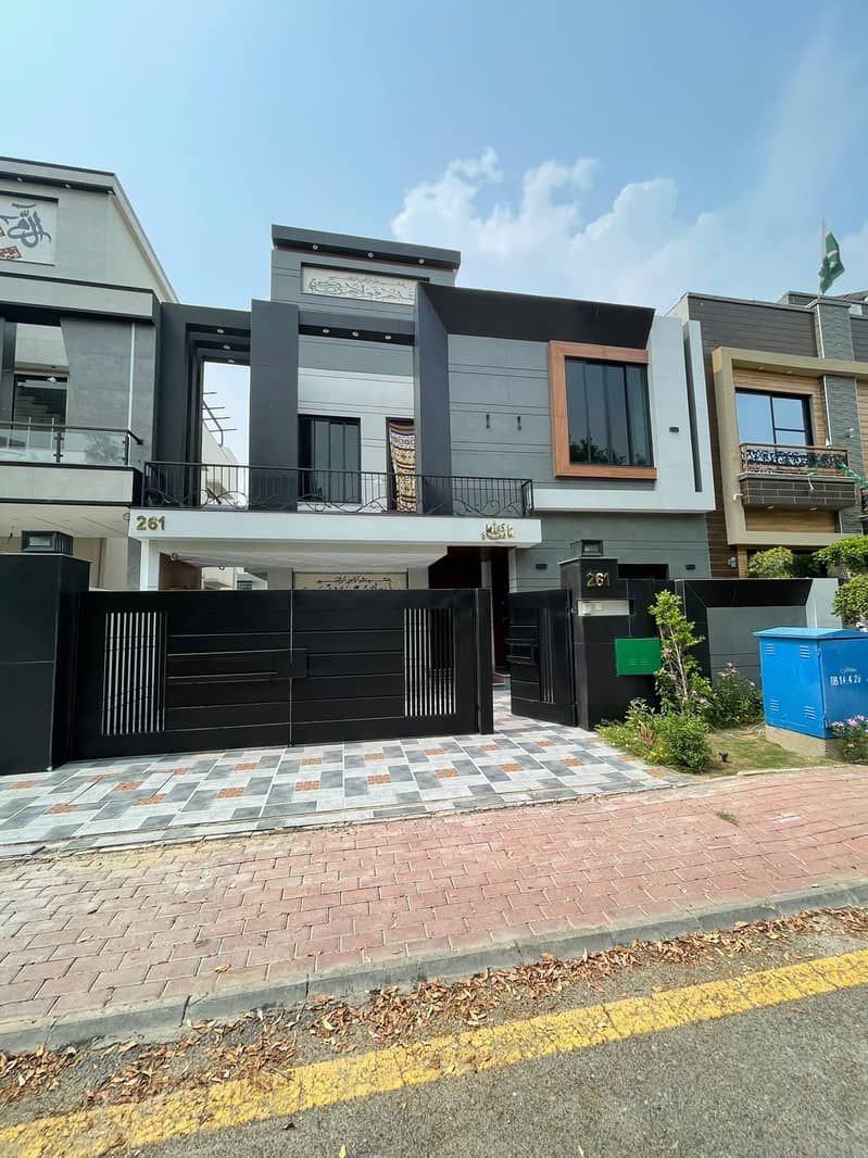 House For Sale
Rs 4.50 Crore
 Apartment For Sale
 Apartment For Sale
 Apartment For Sale
Rs 84.73 Lacs
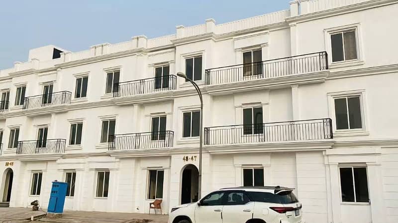 Apartment For Sale
Rs 65 Lacs
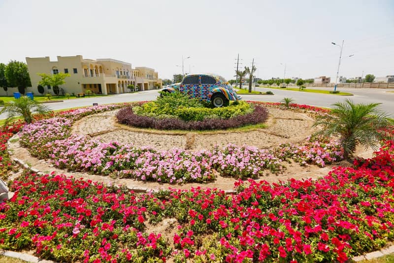 Commercial
Rs 1.31 Crore
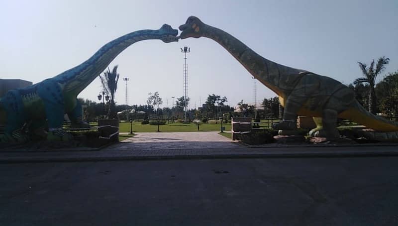 Commercial
Rs 1.25 Crore
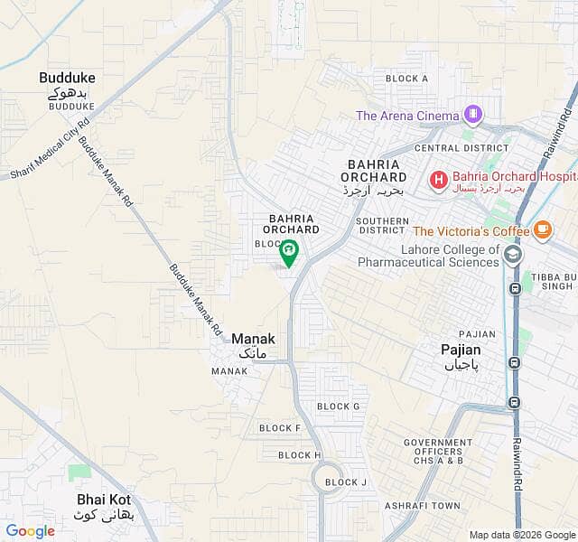 Commercial
Rs 1.50 Crore
 Commercial
Rs 1.50 Crore
 House For Rent
Rs 1.65 Lac
 House For Rent
Rs 1.50 Lac
 House For Rent
Rs 90,000
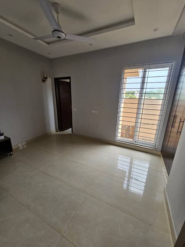 House For Rent
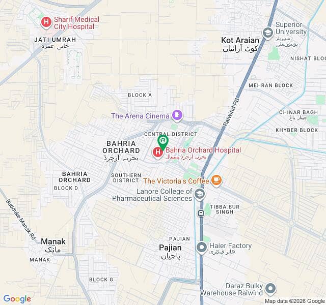 Portion For Rent
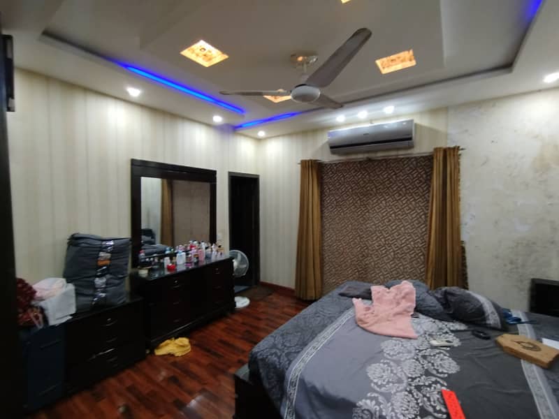 Portion For Rent
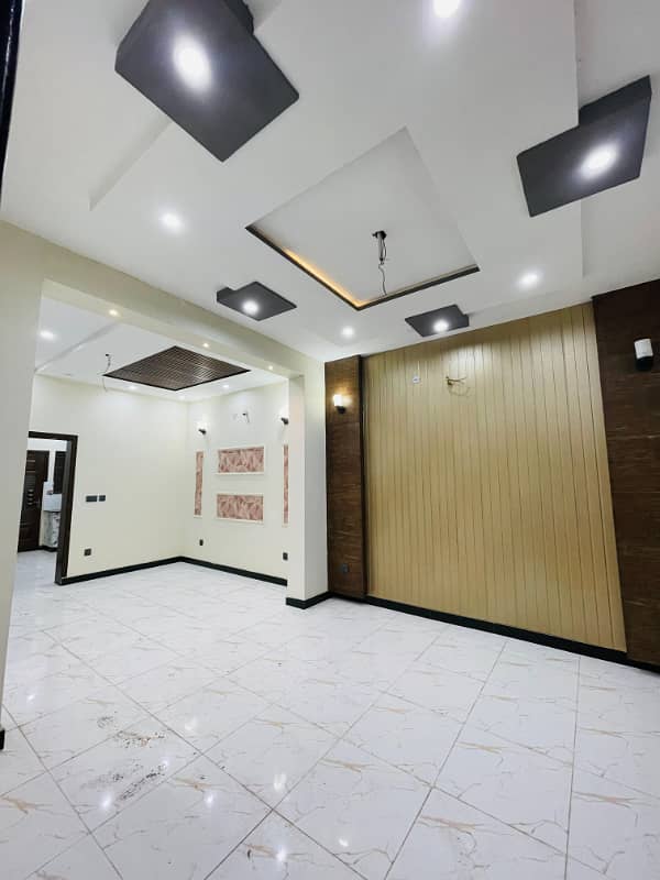 Portion For Rent
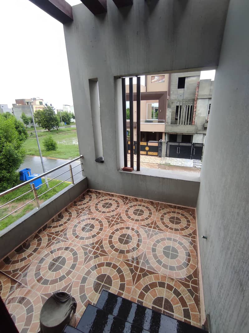 Portion For Rent
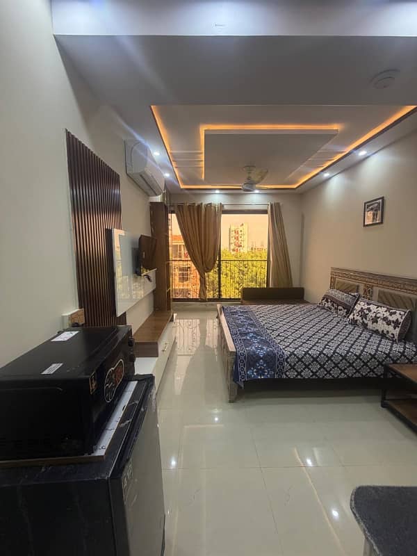 Apartment For Rent
Rs 55,000
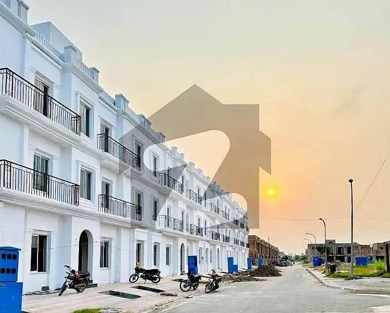 Apartment For Rent
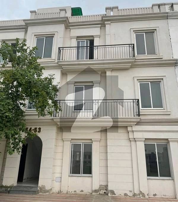 Apartment For Rent
Rs 35,000
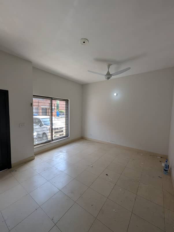 Apartment For Rent
Rs 40,000
Guide
Layers, phases, neighbours and prices — pick a tab.
This page pairs an interactive satellite map with a working guide to Bahria Orchard Lahore. The map loads the full four-phase layout on high-resolution satellite tiles: the named districts of Phase 1, the lettered blocks C to N in Phase 2, the boulevard belt of Phase 3 facing Al-Kabir Town, and the G-series stretch of Phase 4 on the west side of the corridor.
Zoom in and you can trace streets, parks, commercial strips and even individual plot lines on the settled blocks.
The map does not replace a site visit.
Tile imagery can lag new construction by months, boundaries shift as phases expand, and asking prices move week to week. Use the map to shortlist blocks and understand the shape of the society; use our team to confirm what is actually available, which dues are outstanding, and what a fair price looks like today.
Around the map, the page carries the context you need before a visit: how the phases differ, what the corridor's road links feel like in practice, which societies sit next door, and the price bands our live sales board is currently showing.
Read the map first, the tables second, and the questions last — the same order you would use on the ground.
Bahria Orchard is planned in four phases along Main Raiwind Road. Phase 1 is the oldest and most developed pocket, organised into named districts rather than lettered blocks.
Phase 2 carries the society's lettered blocks C through N and the deepest supply of family-sized residential plots. Phase 3 sits on the Al-Kabir Town and Lake City side as an 8 Marla boulevard belt with its own commercial strip. Phase 4 is the largest and newest, with the G-series blocks G1 to G7, the Overseas Enclave and Safari Villas.
| Phase | Where on the map | Typical stock | Market read |
|---|---|---|---|
| Phase 1 | Core, most settled | Eastern, Central, Northern and Southern districts; Canal Villas and Cottages | 5 to 10 Marla and 1 Kanal plots, mature houses, premium commercial |
| Phase 2 | Beside Phase 1, lettered blocks C–N | 5, 7.5, 8 and 10 Marla family streets; E, H, J and K commercial strips | Deepest supply; park-facing and boulevard corners carry a visible premium |
| Phase 3 | Al-Kabir Town / Lake City side | 8 Marla boulevard belt and Phase 3 commercial | Fewest records; a value corridor where possession status varies street by street |
| Phase 4 | West stretch | G1 to G7 blocks, Overseas Enclave, Safari Villas | Heaviest trade in G5 and G6; G4 commercial active; check dues before budgeting |
Indicative structure only. Confirm current block status and terms with our team.
Bahria Orchard anchors a fast-growing development belt on Raiwind Road. Its immediate neighbours are Al-Kabir Town and Al-Kabir Orchard on one side and Lake City further along the corridor, with DHA Rahbar and Khayaban-e-Amin in the same southern-Lahore pocket.
Phase 3 of Bahria Orchard faces the Al-Kabir Town and Lake City side directly, which is why those two names come up most often when visitors walk the boundary.
Widen the circle slightly and the comparisons that buyers usually run include New Lahore City on the Raiwind Road corridor, LDA Avenue 1, Jubilee Town, Wapda Town and Valencia Town toward the Sundar and Multan Road side, Park View City on Multan Road, and Etihad Town Phase 3 closer in toward the city.
Each targets a similar buyer with a different trade-off: some offer a cheaper entry price, some offer a shorter commute, and some compete on the same gated-community amenity list.
This competition is good news for buyers. Multiple active societies in one corridor keep pricing honest, and it means you can compare amenity level, approvals, development pace and possession record side by side instead of settling for a single option.
When you visit, price the same plot size in two neighbouring societies and ask each office for written dues and possession confirmation; the contrast usually settles the decision faster than any brochure.
The board at the latest refresh holds around 90 active listings, and the mix is plot-heavy: most records are residential plots, with a smaller set of houses and a handful of commercial units.
Residential stock runs from compact 5 Marla and 5.75 Marla plots through the family-standard 8 and 10 Marla up to full 1 Kanal, and commercial stock spans roughly 3 to 8 Marla plots plus a few shops of 220 to 330 sq ft.
Asking ranges, indicative only: 5 Marla residential plots in Phase 2 blocks such as C, K, M and J commonly ask in the PKR 45–76 lakh band.
Phase 4 G-series 10 Marla plots, especially in G5 and G6, cluster around PKR 64 lakh to 1.05 crore depending on dues and road frontage. Houses range widely — a 5 Marla structure in Eastern Extension II can sit near PKR 1.85 crore while a brand-new 8 Marla house in OLC-B asks around PKR 3.2 crore. Commercial carries the highest per-marla pricing, with Central District 5 Marla commercial plots asking in the PKR 3–4.8 crore range.
Read the ranges, not a single number. Within one block, paid-dues, park-facing and boulevard-corner plots sit at the top of the band, while open-form or dues-outstanding stock sits at the bottom.
If a listing's price looks far below its block's band, assume outstanding dues or a possession gap and verify before you celebrate the bargain.
Distances
Indicative road estimates from the main gate.
7–8 kmapprox.
10–15 minapprox.
Nearbyalternate corridors
~15 kmapprox.
~25 kmapprox.
~30–35 kmapprox.
Distances are indicative road estimates. Drive your own route at your commute hour before locking a block.
Neighbours
Only names already on this page — compare before deciding.
Adjacent belt neighbours with their own commercial strips and lower entry prices on comparable sizes.
Established lakeside community further along Raiwind Road; competes on amenity maturity.
Same southern pocket; useful second opinions on resale demand and rent levels.
New Lahore City, Valencia, Wapda Town, Jubilee Town, LDA Avenue 1, Park View City and Etihad Town round out the comparison set.
How to use
From full layout to single street in four steps.
The map loads centred on the society in satellite view.
SatelliteScroll the page freely — the map only zooms after you click or focus it, so mobile scrolling is never hijacked.
Once focused, pinch or scroll to zoom, drag to pan, and use the corner controls to move between satellite and street views or zoom in and out.
ZoomZoom to street level and the settled blocks reward it: you can trace plot lines, park space and the commercial strips in Phase 1 and 2, follow the boulevard through Phase 3, and count the street grid across the G-series blocks in Phase 4.
A good habit is to find your shortlisted block, drop out one zoom level, and check its distance to the main gate and the Raiwind Road frontage.
Street levelRemember the limit: satellite tiles are a photograph of a moment, not a live survey. Newer streets in Phase 4 and the Overseas Enclave may look emptier than they are, and imagery can lag construction by months.
Confirm anything the map suggests with a ground visit or our team before you budget.
VerifyShortlist two or three blocks on the map, then walk the streets they sit on. Confirm the block boundary on the ground, because satellite imagery can lag the actual developed edge of an expanding phase.
Ask for written confirmation of dues status, possession status and utility charges for the exact plot number, not just the block. Keep dated screenshots of every confirmation so later negotiations stay grounded.
Finally, price the same size in one neighbouring society before you decide. The Raiwind Road corridor gives you that option — use it.
Questions
Six answers, all from this page.
Terms change. Ask our team to confirm your size, block and schedule in writing.